Further learning

Apply your learnings to project style activities.

After the kit has been sent back there is an opportunity to apply what the students have learnt from the artefacts and discussions in project style activities.

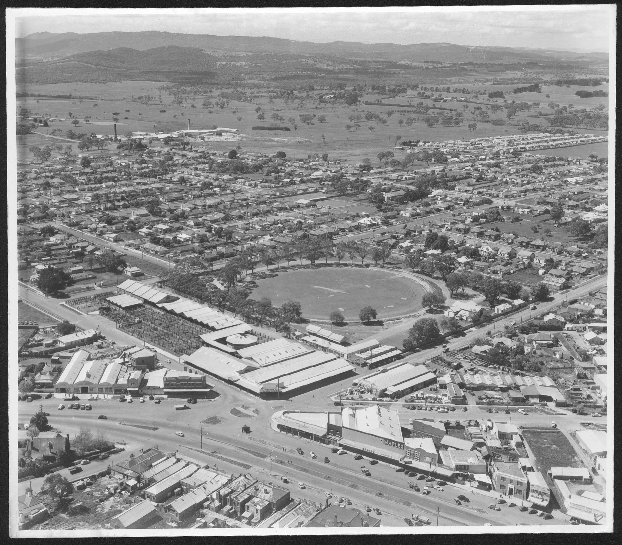
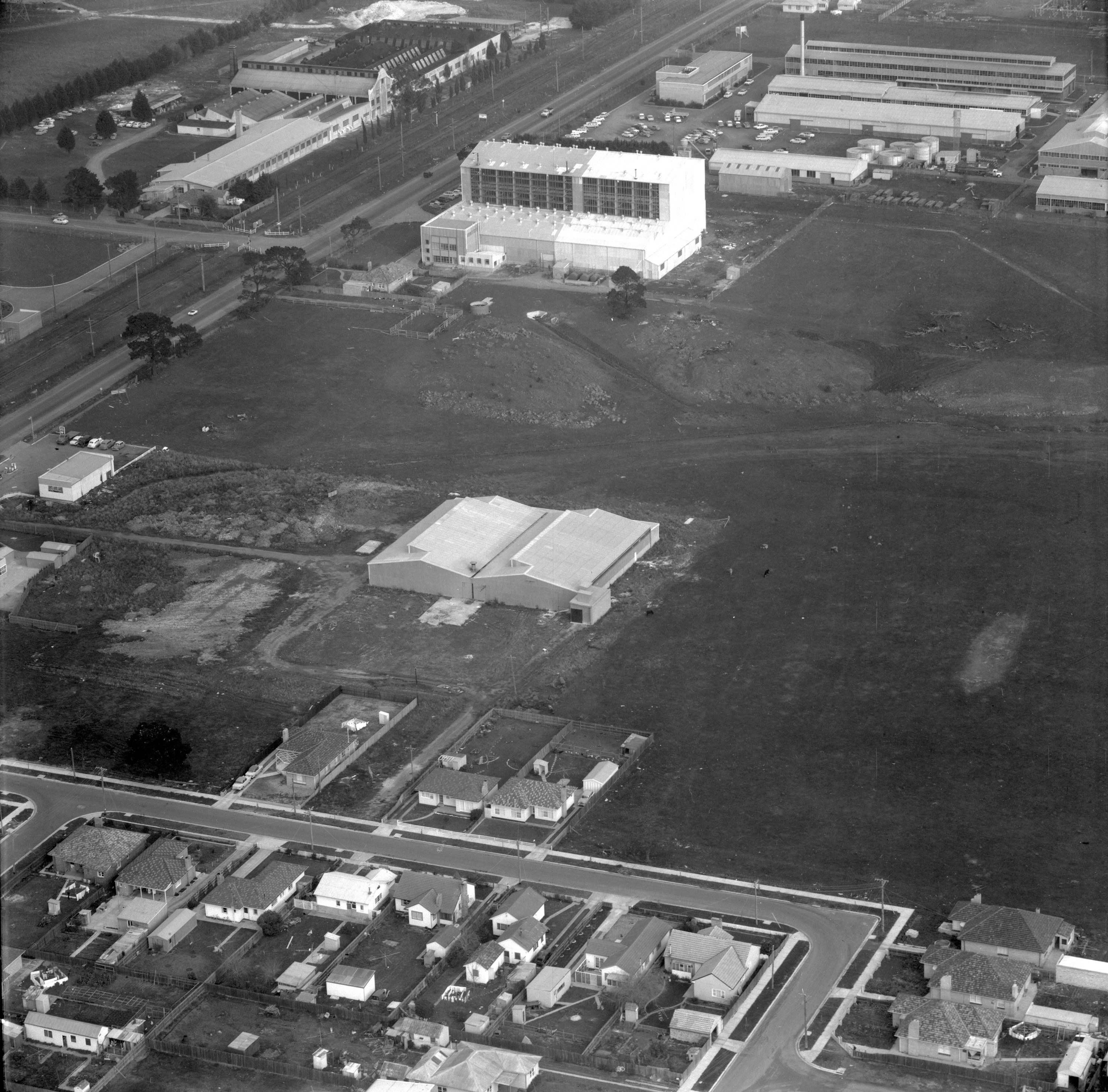
Fieldwork is an important aspect of geographical investigation and learning and provides a wonderful opportunity for students to engage with key skills, curriculum knowledge and their broader community. Activity 1 and 2 both offer opportunities for students to learn outside the classroom and critically reflect on their learning. 

Activity 1: Fieldwork

Watch:

  • Discuss the purpose of geographical and historical research.
  • How does Geographical fieldwork overlap with historical investigations?
  • Consider why researchers investigate ‘gaps in current knowledge’. What are researchers ‘adding’ to society?
  • How does the ‘Invisible Farmer’ project present a ‘gap in current knowledge’?

Research question and hypothesis

Teacher watch:

  • What is a research question?
  • “Not all questions are equal.” Discuss.

Brainstorm questions students have about farming, water use, changing landscapes, challenges of urbanisation or the future of farming. As students write down their ideas continue to inquire:

  • Why are we asking these questions?
  • Why are we interested in these questions?

Develop one, class research question. The question should be open ended and be achievable for students to answer in the allocated time.

Consider:

  • What is the topic of interest?
  • What do we already know?
  • What do we need to know more about? Example questions: 
    • What are the causes and consequences of land degradation?
    • How does water scarcity impact our ability to produce food to a growing population?
    • How has urbanisation created challenges for food growers?
    • How liveable are rural environments for farmers?

As a class, write an educated guess answering the final research question. Use students’ prior discussions to form this response.

Example hypothesis:

How has urbanisation created challenges for food growers?

Urbanisation has resulted in less available arable land and more demand for resources.

Developing an understanding of people and place

A traditional research report contains an introduction, outline of methods, discussion of results and concluding statements. Completing preliminary research and writing a summary of existing knowledge is helpful for students to put their research question into context and practice using reliable secondary sources for information.

Students may summarise existing ideas, knowledge and data on the following:

  • Location and geographical characteristics of farmland
  • Existing challenges that face farmers along with added pressures of urbanisation, climate change and land degradation.
  • How farmers have adapted to water scarcity and the use of technology in these regions.
  • How climate change is exacerbating land degradation and changing landscapes.

Methods and collecting data

In Geography, surveys and interviews are often used to understand community perspectives and gain information on personal experience and connection. Surveys tend to be based around quantifiable data, or numerical data that we can later graph or map. For example, researchers may ask 50 community members how they would rank availability of locally produced fruits from 1 to 5. Interviews, like ‘Oral Histories’ are examples of qualitative evidence, data that cannot be defined by numbers but are still vital for gaining an understanding of processes and the connection between people and place.

Create a list of survey questions which help answer the class research question. Ideally the survey would be short and contain a series of simple multi-choice questions which are available for all community members or targeted groups for your research. Encourage students to discuss the importance of each question and justify why and how it will help inform their research question.

NB: Consider your sample size. If all students carry out the same set of questions, to different community members and then share and analyse the data as a class, your sample size will larger and gain a broader community perspective.

Review: Interview questions (Museums Victoria)

  • You do not need to live in a farming region to interview farmers or agriculturalists. As the recent pandemic has shown us, technology allows us to connect with others no matter what the distance.
  • If physically interviewing farmers or agriculturists is not practical, use Invisible Farmer website as a secondary source for students to read existing interviews and gain evidence for their research.

Virtual tours

If physically visiting farms to interview participants is not practical, a range of virtual tours are available online which allow students to explore different farms to understand land use, land cover, infer agricultural practices and ideas for further research or questioning.

For example:

Informing others

After collating data, creating graphs, tables or editing footage, students can prepare a written discussion answering prepared questions or ‘reflective statements’. Depending on the research topic chosen, prepare a few questions to help students structure their analysis of data. Students should use the evidence collected to form a conclusion or answer to the research question.

You may wish to extend students by asking them to reflect on the success of their research methods in collecting suitable data to answer the research question. Try and avoid statements about personal enjoyment or learning, but instead guide students to critically reflect on:

  • What survey/interview questions were/were not informative?
  • How would you improve your survey techniques next time?
  • What other data would have been useful?
  • What suggestion would they make to future year 7 and 8 students about completing research?
  • What other questions were raised that would make good research questions in the future?

Additional resources

Further links and museum information:

UNTOLD Education Project - Additional Resources (Museums Victoria)

Activity 2: Challenge of change

  • Discuss the geographical characteristics of these places.
  • Using Google Time lapse, observe the change over time in these places.
  • Fill in the following table:

Data source: Victoria in Future 2019 (Victorian State Government)

  • Using PQE describe the change over time in Melbourne’s population
  • What is meant by ‘Greater Melbourne’ and ‘Regional Melbourne’?
  • Which region is expected to grow most? Why do you think that it?
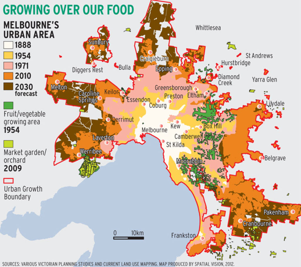
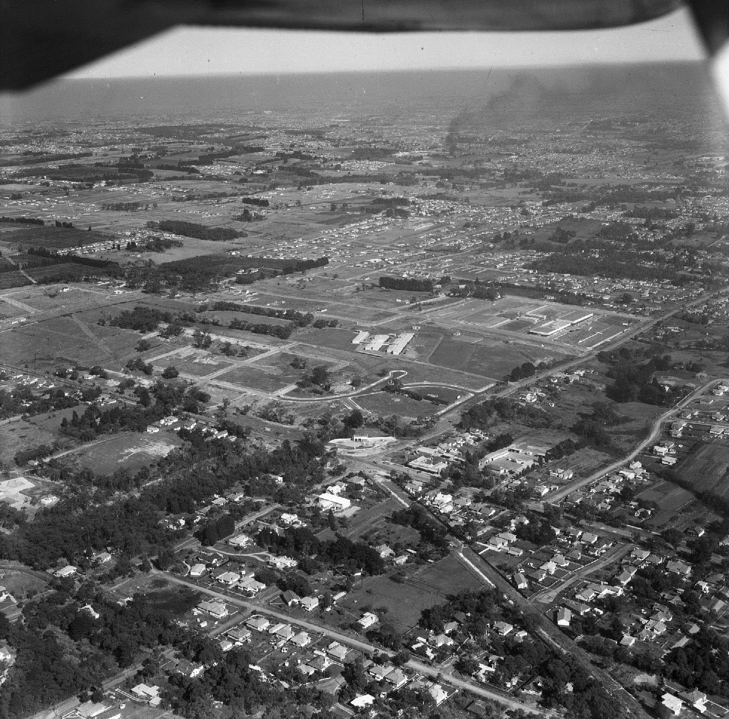
  • Define the term ‘urban sprawl’.
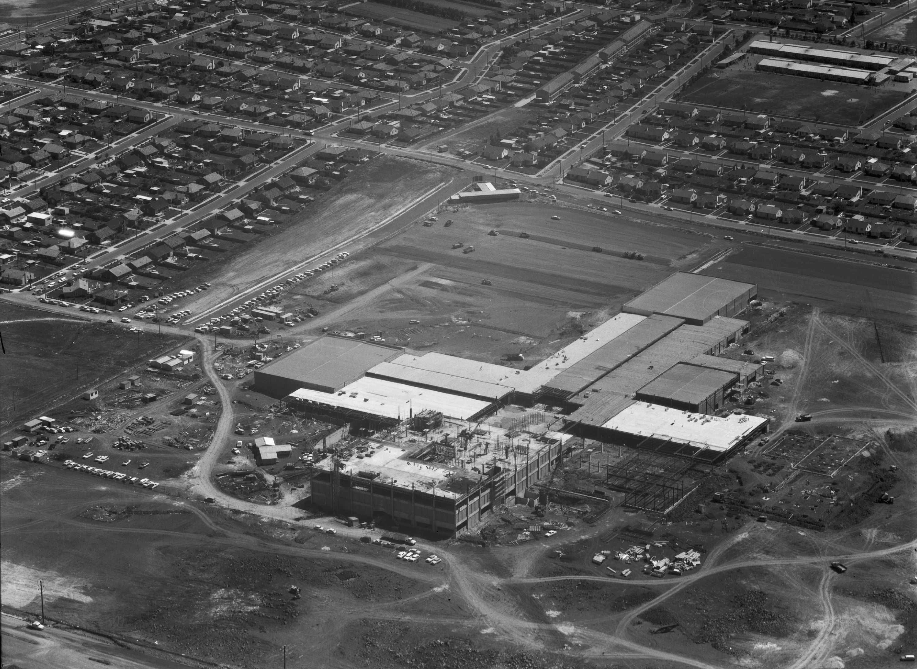
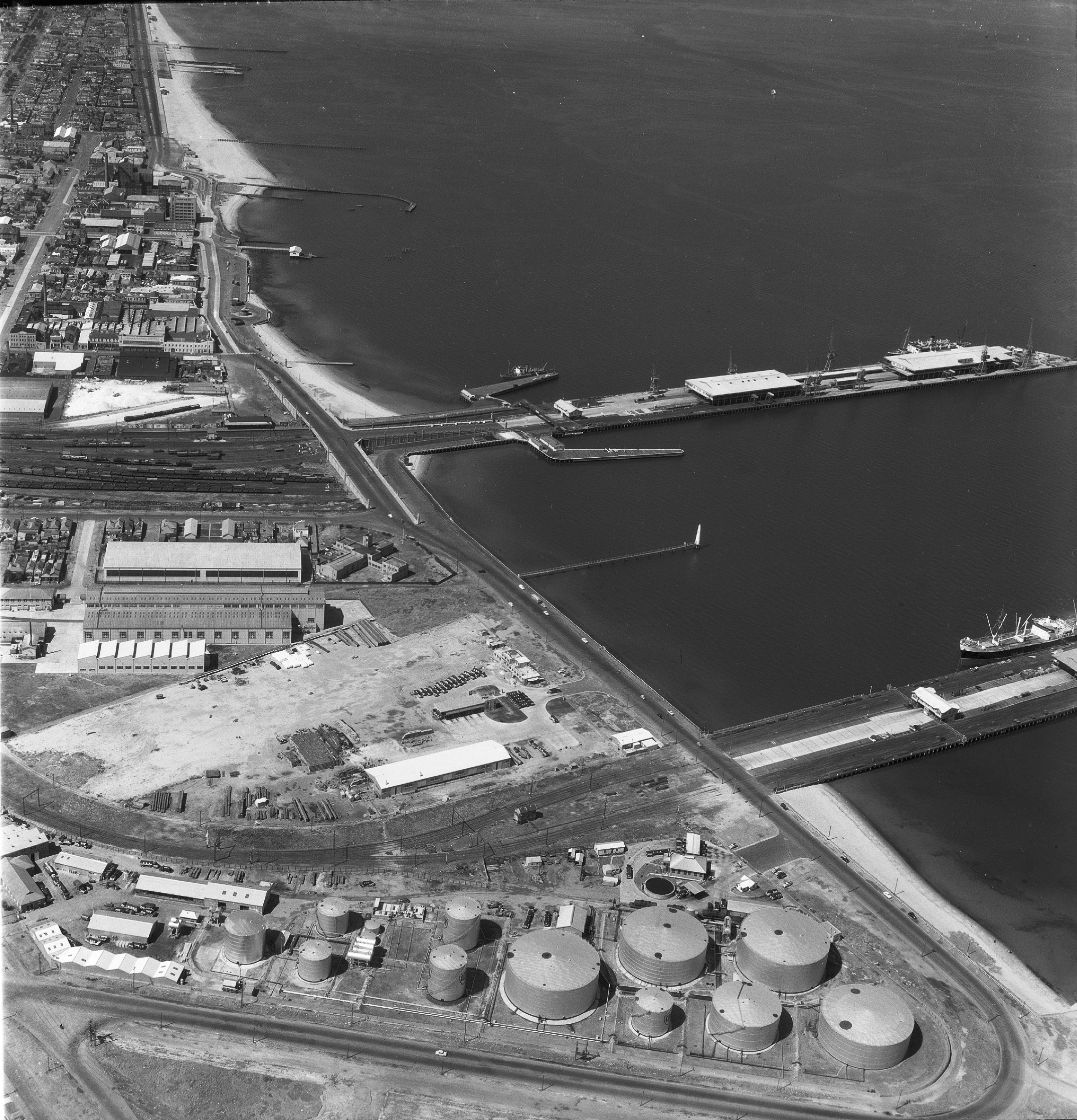
  • In groups, identify how urbanisation has impacted people and place.  
    • How has urbanisation changed landscapes?
    • How has urbanisation improved liveability for some regions?
    • How has urbanisation decreased liveability in some regions?
  • Extend students by considering how urbanisation has made us more reliant on rural communities and global supply chains for food, or how urbanisation has changed our consumption rates of resources.

Watch: Melbourne’s foodbowl and the impacts of urban sprawl (Melbourne University) 

  • Describe what is meant by a ‘green wedge’.
  • Why is urban sprawl ‘bad’?
  • Discuss how increased population numbers has impacted: 
    • Resources
    • Value of land
    • Sense of place
    • Pressure on the urban fringe

Access: Foodprint Melbourne project - map of Melbourne's foodbowl

  • Discuss the importance of GIS and spatial technology for planning and managing population growth
  • Outline what is meant by the term ‘layer’ and ‘legend’ and the benefits of these map characteristics.

Further GIS activities and support for teachers: Working with GIS Layers

  • Ask students to click around the map, turn layers on and off and write down any questions they have about the map.
  • After exploring discuss the following questions in small groups and share as a class: 
    • How has the use of land changed?
    • How might changing populations put pressure on farmers?
    • How does reducing the extent of agricultural land result in lower food security?
    • How will lower food security impact liveability and sustainability?
  • Predict the changing needs of the community as Victoria’s population increases.
  • How might increasing rates of urbanisation impact the following: 
    • Access and movement of water
    • Climate
    • Landscape management
    • Consumption of resources
    • Ability to access facilities, services and infrastructure

Further liveability resources for Melbourne: Liveability and quality of life (City of Melbourne)

As our population continues to grow and more people choose to live on the urban fringe, brainstorm the changing needs of urban and regional communities.

COVID-19 food insecurity sees backyard veggie patches and community gardens boom (ABC News)

An example of a Victorian urban garden: 3000acres update on Fitzroy urban oasis (VicHealth)

Consider how having access to local, healthy produce could improve liveability for Victorians. Taking into account the ideas you raised in your brainstorm and the importance of local, reliable, healthy and culturally appropriate food for communities, design an idealistic liveable space for an urban population. 

Resources for inspiration and further extension

Infographic: A vision for a resilient city foodbowl for Melbourne (Univeristy of Melbourne)

Back to top

Join the mailing list and get the latest from our Museums direct to your inbox.

Share your thoughts to WIN

We'd love to hear about your experience with our website. Our survey takes less than 10 minutes and entries go in a draw to win a $100 gift voucher at our online store!